// Construction Staking
Precisely marking locations for grading, utilities, foundations, and structures to ensure proper site development.
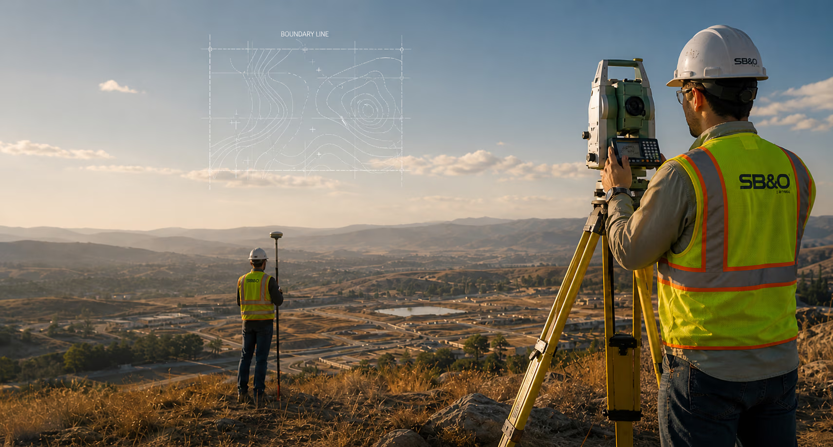
Precision land surveying including boundary surveys, ALTA surveys, topographic mapping, and construction staking.
SB&O provides precise land surveying and mapping services utilizing state-of-the-art technology, including GPS, robotic total stations, and 3D laser scanning. Our surveys support engineering, construction, real estate transactions, and legal property determinations.
Our land surveying team provides a comprehensive range of specialized services.
Precisely marking locations for grading, utilities, foundations, and structures to ensure proper site development.
Capturing elevation and terrain data to support site design, grading, and engineering planning.
High-resolution mapping using aerial imagery for large-scale topographic and land-use analysis.
Utilizing 3D laser scanning for highly detailed and accurate as-built documentation and analysis.
Mapping underwater topography for coastal, river, and reservoir projects, ensuring waterway safety and infrastructure planning.
High-precision positioning using Global Positioning System (GPS) technology for boundary, construction, and infrastructure projects.
Defining property lines and resolving land ownership disputes through accurate legal boundary mapping.
Establishing and documenting land ownership and subdivision boundaries for legal and government records.
Modifying property boundaries to accommodate development or ownership changes.
Officially documenting surveyed land boundaries and property descriptions for public record.
Detailed land surveys meeting American Land Title Association (ALTA) standards, typically required for commercial real estate transactions.
Mapping land divisions for new developments, ensuring regulatory compliance and legal recordation.
Surveying and mapping multi-unit developments to define unit boundaries, common areas, and ownership rights.
Preparing precise property descriptions for deeds, easements, and land conveyances.
Documenting existing site conditions and verifying construction accuracy for engineering and compliance purposes.
Defining and mapping easements, roadways, and public access areas for infrastructure projects.
A selection of projects where our land surveying expertise made a difference.
Discover other engineering disciplines that complement this service line.
Comprehensive civil engineering services including site development, grading, drainage and stormwater systems, environmental compliance, and infrastructure design.
Learn moreStrategic land planning services that balance development goals with regulatory requirements and environmental concerns.
Learn moreDesign and engineering of fiber optic, broadband, and telecom networks from trunk lines to last-mile delivery.
Learn moreContact our team to discuss how our land surveying expertise can benefit your project.